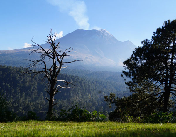
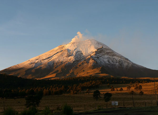
Popocatépetl (Spanish pronunciation: [popokaˈtepetɬ] (About this sound listen); Nahuatl: Popōcatepētl Nahuatl pronunciation: [popoːkaˈtepeːt͡ɬ] (About this sound listen)) is an active volcano, located in the states of Puebla, Mexico, and Morelos, in Central Mexico, and lies in the eastern half of the Trans-Mexican volcanic belt. At 5,426 m (17,802 ft)[4] it is the second highest peak in Mexico, after Citlaltépetl (Pico de Orizaba) at 5,636 m (18,491 ft).
It is linked to the Iztaccihuatl volcano to the north by the high saddle known as the Paso de Cortés.[5]
Popocatépetl is 70 km (43 mi) southeast of Mexico City, from where it can be seen regularly, depending on atmospheric conditions. Until recently, the volcano was one of three tall peaks in Mexico to contain glaciers,[6] the others being Iztaccihuatl and Pico de Orizaba. In the 1990s, the glaciers such as Glaciar Norte (North Glacier) greatly decreased in size, partly due to warmer temperatures but largely due to increased volcanic activity.[7] By early 2001, Popocatépetl's glaciers were gone; ice remained on the volcano, but no longer displayed the characteristic features of glaciers such as crevasses.
Lava erupting from Popocatépetl has historically been predominantly andesitic, but it has also erupted large volumes of dacite.nMagma produced in the current cycle of activity tends to be a mixture of the two.